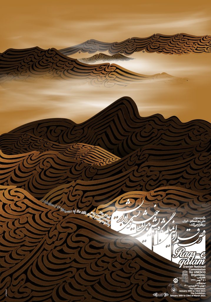
Documentary heritage submitted by the Islamic Republic of Iran and recommended for inclusion in the Memory of the World Register in 2013.
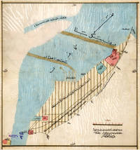
The collection of maps is a compilation of handwritten and lithographic maps which show the geographical plateau of Iran as a major part of the historical Silk Road as well as the interface of the North-South corridor. The collection is a significant research document, providing an authentic source for studying the demographic, natural, historical and cultural geography of different West-Asian regions. The maps provide information on boundary lines, impacts of human-instigated and natural disasters on the borders, and geographical place names some of which are now either non-existent or have been renamed.
- Year of submission: 2012
- Year of inscription: 2013
- Country: Islamic Republic of Iran